Share this with your friends & families
Virachey National Park is a national park in north-eastern Cambodia. Although partly protecting flora and fauna of international conservation priority, the park is under serious threat from illegal logging in the region.
The park is one of only two Cambodian ASEAN Heritage Parks and is one of the top priority areas for conservation in Southeast Asia. The park overlaps Ratanakiri and Stung Treng Provinces in northeastern Cambodia covering an area of 3,325² km.
Virachey National Park was created under the Royal Decree Concerning the Creation and Designation of Protected Areas, issued on 1 November 1993, and is under the administration of the Ministry of Environment of Cambodia.
Ethnic Minorities
The human population adjacent to Virachey National Park is characterised by a high percentage of ethnic minority groups. The majority are Kreung, Kavet, Brao, Lao and Lun people. Smaller numbers of Tampuen, Kachok, ethnic Chinese, ethnic Khmer and ethnic Vietnamese people are also found in the area.
Most of these live in 60 villages, some of which were located inside what is now Virachey National Park. The reliance on natural resource use inside the protected area is critical to the survival of the local communities. The main products harvested are rattan, bamboo and malva nuts.
Hunting for food and trade occurs in the forests of Virachey National Park and although a consistent decline in wildlife populations has been observed, reports still indicate that tiger, Himalayan black bear, Malayan sun bear, guar, Sambar deer, muntjak and civet are being hunted. Turtles, monitor lizards and pangolin are the most commonly traded animals. Rabbits, forest rats and other smaller animals are usually hunted for subsistence closer to the villages.
How to get Virachey National park
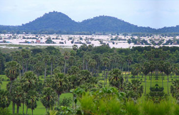
Located in some of the most deepest and isolated jungles of Cambodia, Virachey is largely unexplored and holds a large assortment of wildlife, waterfalls and mountains. The park comprises dense semi-evergreen lowlands, montane forests, upland savannah, bamboo thickets and occasional patches of mixed deciduous forest. Most of the area lies above 400 meters up to 1,500 meters.
- North Eastern Cambodia
- 1Day
Virachey National Park is a national park in north-eastern Cambodia. Although partly protecting flora and fauna of international conservation priority, the park is under serious threat from illegal logging in the region.
Other Travelstyle
- Small Group Tours (Siem Reap, Phnom Penh, Sihanoukville)
- Private Day Tours (Siem Reap, Phnom Penh, Sihanoukville)
- Multi-Day Tours
- Angkor National Park Tickets
- Transports and Transfer
- Angkor Excursions
- Siem Reap to Phnom Penh
- Battambang Excursions
- Phnom Penh Excursions
- From Phnom Penh
- Cambodia Tickets